The Role of UAVs and Drones in Modern Surveying
Surveying has always been essential for infrastructure, construction, and land development. Traditionally, surveyors used manual measurements and ground-based equipment....

At Joemetric Geo Consult, we combine cutting-edge technology, advanced expertise, and a client-first approach to deliver accurate surveying, mapping, and GIS solutions. From drone mapping to LiDAR surveys, our mission is to empower organizations with actionable data that drives sustainable growth, efficiency, and informed decision-making across Nigeria and West Africa.


At Joemetric Geo Consult Limited (JGC), we pride ourselves on being an indigenous Nigerian company driven by a global vision and managed by a team of seasoned professionals and industry experts. Our commitment is to provide exceptional services across a wide spectrum of geospatial and surveying fields, including Geographic Information Systems (GIS), Remote Sensing, Land Surveying and Mapping, Drone Mapping and Inspection, LiDAR Surveys, and Capacity Building in Drone Technology and GIS.
(+234) 812 504 5220

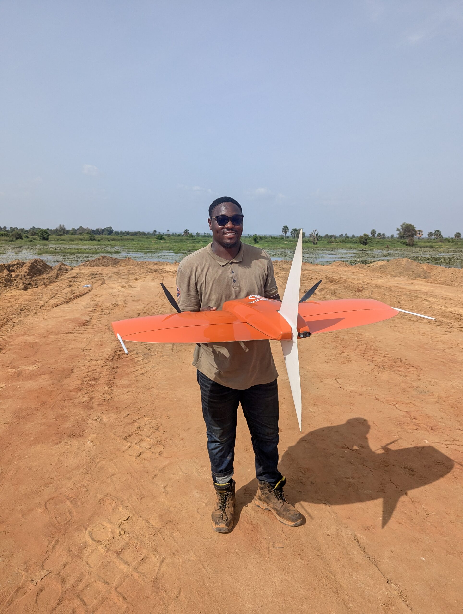
Head of Operations
With advanced academic qualifications and diverse professional experiences, our personnel embody a blend of subject- matter expertise and technical excellence. This unique combination empowers us to integrate cutting-edge technology and the latest equipment into our operations, ensuring that we meet the evolving needs of clients across all industries.
What sets JGC apart is our unwavering commitment to a client-centric approach. We take the time to understand the unique needs and challenges of each client, enabling us to tailor our solutions to meet their specific requirements. By fostering trusted, long-term relationships, we consistently deliver top-quality, timely, and customized services that exceed expectations. Our dedication to excellence ensures that our clients achieve their objectives efficiently and effectively.
We analyze geographic patterns and relationships to deliver insights for decision-making.
We capture high-resolution aerial data for mapping, analysis, and infrastructure planning.
We analyze geographic patterns and relationships to deliver insights for decision-making.
We organize and manage land data for efficient planning, and administration.
We create detailed three-dimensional models for analysis, and project planning.
We provide precise measurements and data to support construction and infrastructure projects.
We measure and map underwater features to support navigation, and environmental studies
The project aimed to ensure that the construction of the ultra-modern hostel facility at Lagos State University (LASU) conformed precisely to the architectural and structural designs. This involved setting out the foundational elements, walls, and infrastructure, ensuring they adhered to the planned dimensions and orientations.
The aim of this bathymetric survey was to provide detailed underwater topographical data to support the construction of a jetty at Ladol, Snake Island. This survey was crucial for understanding the underwater terrain, identifying any potential obstacles, and determining the most suitable locations for jetty construction.
The project aimed to utilize LiDAR technology to map the runway and surrounding premises of Ibadan Airport. This mapping was critical for infrastructural planning, runway inspection, and slope determination to ensure the airport’s facilities met safety and operational standards.

A dedicated team of skilled surveyors, GIS specialists, and innovators committed to delivering precision, excellence, and transformative geospatial solutions

Head of Operations
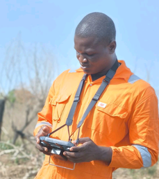
GIS Expert

Geospatial Analyst
Leverage our expertise in GIS, drone mapping, and surveys to access reliable data that drives smarter, faster decisions.
Stay informed with professional perspectives on GIS, drone mapping, LiDAR, and more
Surveying has always been essential for infrastructure, construction, and land development. Traditionally, surveyors used manual measurements and ground-based equipment....
Introduction to Geospatial Technology Geospatial technology represents a revolutionary approach to understanding and interacting with our physical world. At...
 Optimized by Seraphinite Accelerator