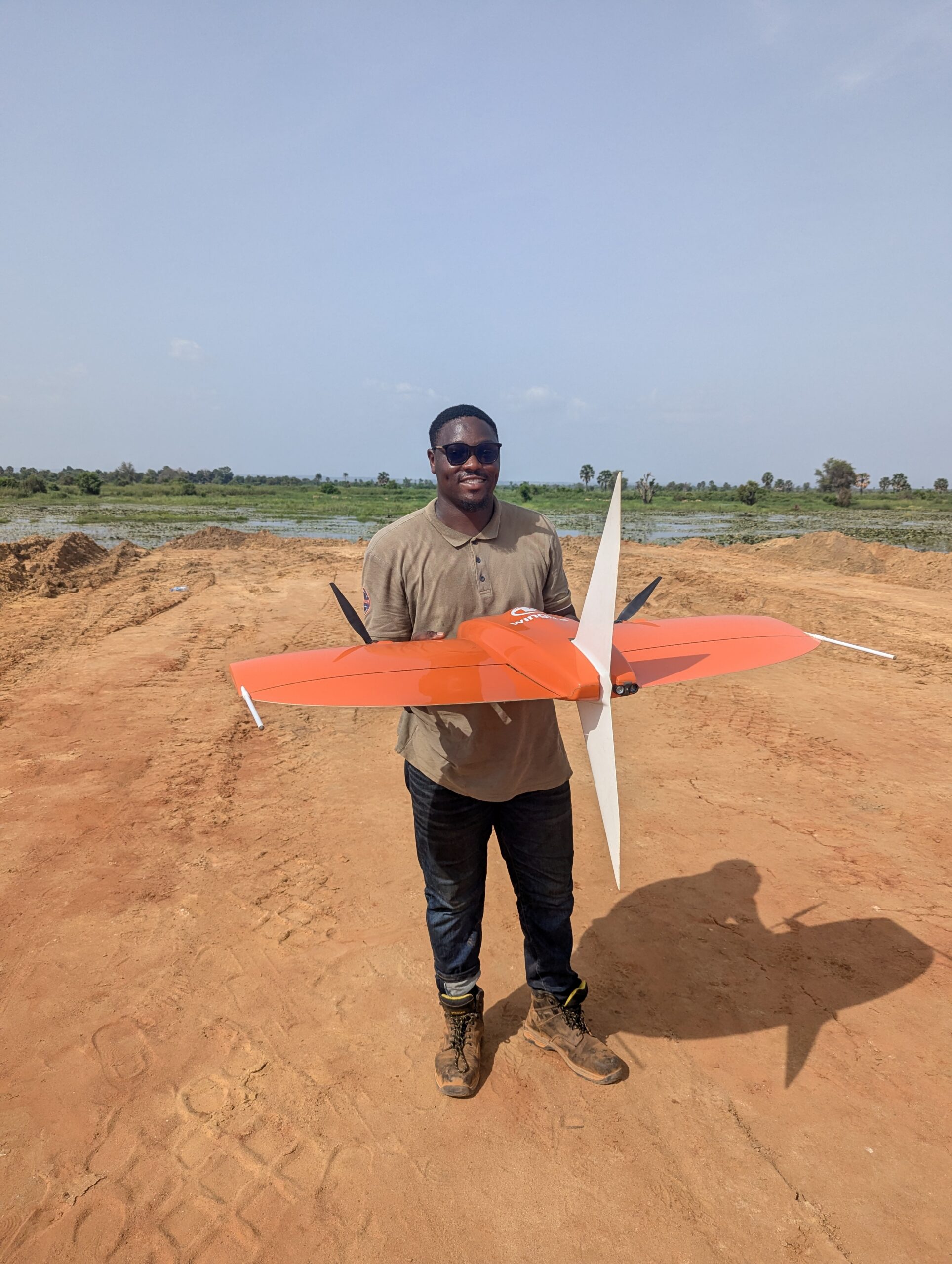
The Role of UAVs and Drones in Modern Surveying
Surveying has always been essential for infrastructure, construction, and land development. Traditionally, surveyors used manual measurements and ground-based equipment....


Awe Olumide is a certified ESRI trainer with a degree in Surveying and Geoinformatics, bringing extensive experience in GIS project management and analysis. He seamlessly combines his natural aptitude for data analysis with the professional and technical skills honed through his diverse work experiences. In addition to being a GIS Specialist, Olumide is also a skilled UAV pilot with expertise in the Defense sector, Utilities and infrastructure mapping, Agriculture and Forestry, as well as Erosion and Soil mapping. His broad knowledge base and technical proficiency make him a versatile asset in these fields. Olumide is also an active member of the Young Surveyors Network, reflecting his commitment to professional growth and industry advancement.

Iyanu is our Head of Operations at Joemetric Geo Consult. He is an alumnus of the prestigious Faculty of Engineering at the University of Lagos and the Federal School of Surveying, Oyo. As a licensed UAV pilot by AUVSI (Association of Unmanned Vehicle Systems International) and a Remote Pilot License holder from the Civil Aviation Authority of Malawi, Iyanu is a proficient drone technologist, a seasoned professional surveyor, and a skilled GIScientist. His commitment to leveraging technology for global transformation sets him apart as a leader in the field. Iyanu's deep dedication to humanitarian causes drives his passion for the intersection of UAV technology, Geographic Information Systems, and the expansive possibilities of Artificial Intelligence. More than just a practitioner, Iyanu is a visionary leader who inspires his team to utilize cutting-edge technology to create positive change in a world that continually seeks innovation and compassion.

Oluwademilade Onasanya is a geospatial analyst with strong expertise in GIS, remote sensing, and mapping technologies. A graduate of the Department of Geography, University of Lagos, he applies advanced geospatial methods to support land use mapping, environmental monitoring, and spatial data automation. He is proficient in desktop GIS platforms and Google Earth Engine, and leverages Python for geospatial automation and analysis. Oluwademilade has coordinated GIS laboratory operations and led several geospatial initiatives focused on data-driven environmental and infrastructural solutions. With a commitment to innovation and precision, he continues to advance the application of geospatial technology in decision-making, sustainability, and spatial intelligence.
Surveying has always been essential for infrastructure, construction, and land development. Traditionally, surveyors used manual measurements and ground-based equipment....
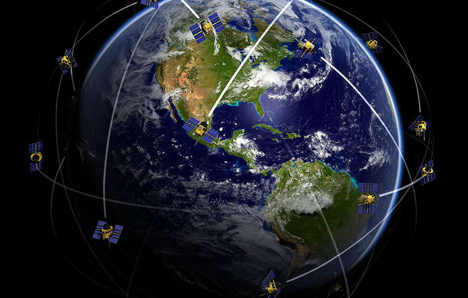
Introduction to Geospatial Technology Geospatial technology represents a revolutionary approach to understanding and interacting with our physical world. At...