Surveying has always been essential for infrastructure, construction, and land development. Traditionally, surveyors used manual measurements and ground-based equipment. While this was effective, it often took a lot of time, required significant labor, and was subject to human error. Today, in a fast-paced world, Unmanned Aerial Vehicles (UAVs), commonly called drones, are changing how surveying is done, especially in Nigeria, where rapid development requires accuracy, efficiency, and innovation.
Why Drones Are Transforming Surveying
UAVs use aerial imaging, sensors, and GPS technologies to gather high-resolution geospatial data. These tools enable surveyors to cover large areas quickly. They also help create detailed maps and provide insights with remarkable precision.
Applications of UAVs in Surveying
Topographic Surveys
Drones collect detailed elevation data and create accurate 3D terrain models. This information assists engineers in designing infrastructure projects with a clear understanding of land features.
Construction Progress Monitoring
With real-time aerial images, project managers can monitor construction milestones, identify potential problems, and enhance accountability on site.
Urban and Regional Planning
UAV mapping supports land-use analysis, zoning, and expansion planning. Cities like Lagos and Abuja benefit from drone surveys to handle rapid urban growth.
Agricultural Surveys
Drones gather NDVI (Normalized Difference Vegetation Index) data. This information allows farmers and agribusiness investors to evaluate crop health, soil conditions, and irrigation needs.
Oil and Gas Infrastructure
UAVs assist in inspecting pipelines, tank farms, and offshore facilities. This reduces safety risks that come with manual inspections in hazardous areas.
Environmental and Disaster Management
UAV surveys are vital for flood mapping, erosion monitoring, and assessing environmental impacts. They help with resource management and disaster preparedness.
Advantages of UAVs in Surveying
Speed and Efficiency: Complete large surveys in hours instead of weeks.
Cost-Effectiveness: Lowers manpower and equipment costs.
High Precision: Achieves centimeter-level accuracy with advanced sensors.
Safety: Removes the need to send surveyors into risky or hard-to-reach areas.
Versatility: Useful in industries like construction, real estate, mining, and energy.
The Future of Drone Surveying in Nigeria
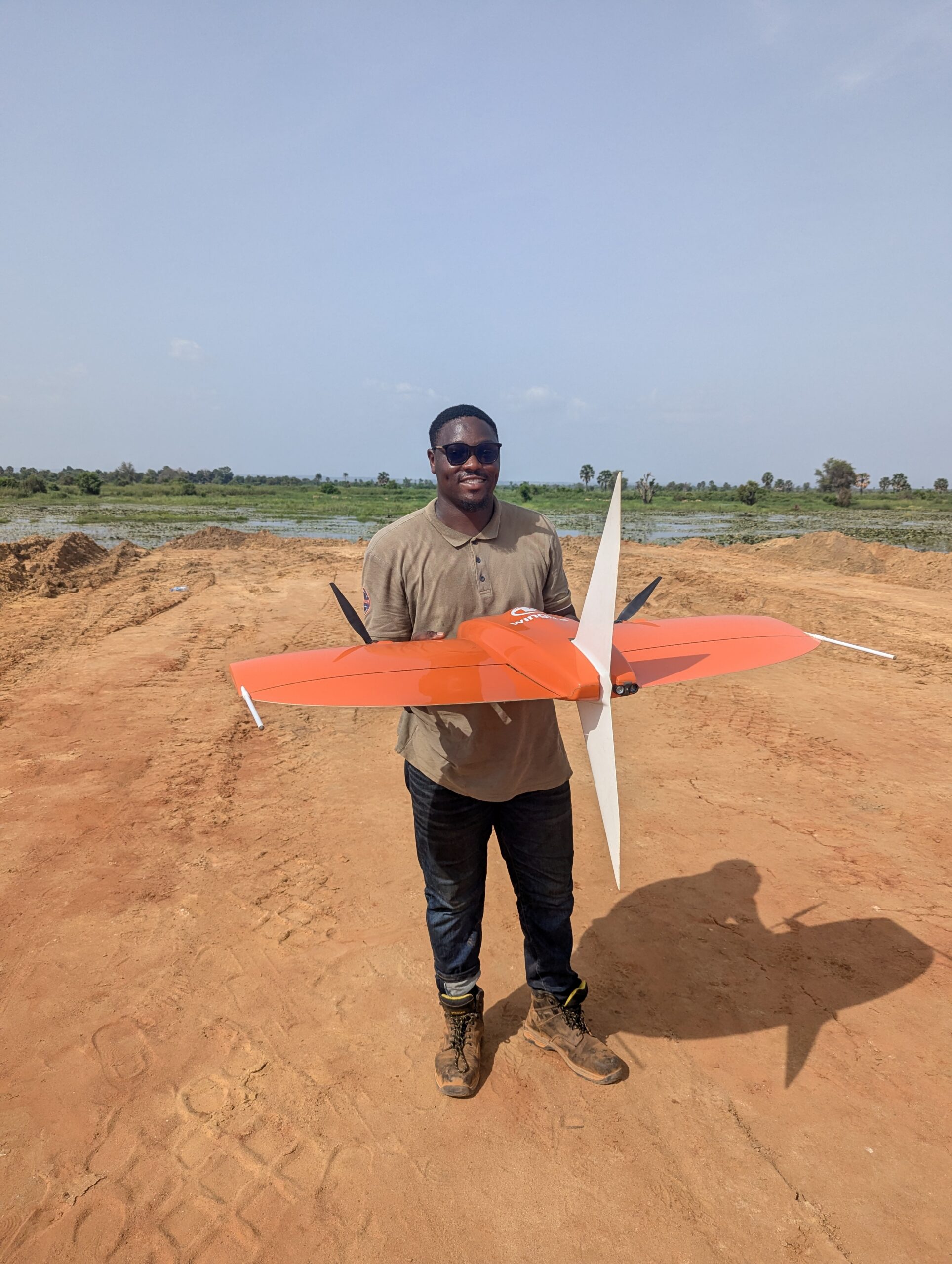
As the need for precise geospatial data increases, UAVs will keep playing a key role in changing Nigeria’s surveying industry. With companies like Joemetric Geo Consult using certified UAV pilots and state-of-the-art drone technology, organizations can expect dependable, efficient, and sustainable surveying solutions that meet their specific needs.